The next morning I went through my new routine of booting up the Oregon, and starting a new track record for the days journey. During my research for the trek I had found track files (gpx.) on the internet, from a hiker from Italy, recording how he had done his Crete E4 trek in 2010. He has a blog too, and is planning to have a book on the Crete E4 out in February 2016. I will mention his blog site and in another post or page, so as not to lose you. Anyway I had his tracks available to me on the GPS, but it was not my idea of an adventure, to be following some else’s footsteps. I used his tracks when researching which route I would take though. So I always made sure I had my GPS clear of these track records, as I made my way to the waypoints.
Waypoints were great for keeping my moral up, because they broke the trek into short tasks. As I accomplished the many tasks I had each day, I felt positive that I was achieving my goal.
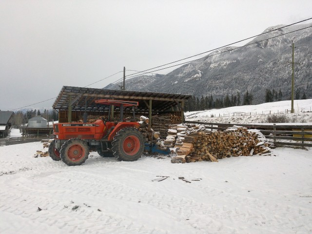
The Oregon could take pictures! It was easy to use. Just touch the Camera app icon , then touch and hold the camera shutter icon, let the camera focus a bit, then take your finger off the icon, and your done. The camera takes 8 mp pictures. Good enough for me. The pictures that appeared on the GPS screen that I viewed after, didn’t look very good. The color was poor. I had practiced with the camera at home, and the pictures did look better on the computer screen. I have seen better quality photos, but I had made the decision to consider the weight and number of electronic devices for this trek, so I was comfortable with the compromise.
What I soon deducted, was that the camera app was the main cause of the energy drain. At first I was taking photos and plunking the camera back in the shoulder bag. When I would take out the GPS to check my position, or take another photo, the screen would be still acting like it was a television, showing me a view of the ground in front of me. It was like leaving the front door of the house open, when its -20 Celsius outside. I had no one shouting “SHUT the DOOR”. But I soon started getting in the habit of exiting the camera app, after taking a photo.
So after I drained the Garmin Rechargeable Battery Pack. I put in the lithium batteries. Garmin claims you should be able to get 16 hours of life out of a set of two lithium AA batteries. I was getting about 75% of that, but I’m sure I could do better when I tweak my energy saving skills. Lithium batteries are expensive. I brought along eight with me for this trek, so I was good for a few days. When they were all used up, I was about to learn another thing about lithium batteries. Lithium batteries are non-existent in the rural towns of Crete. I had no problem finding alkaline batteries, however the Oregon very quickly told me, that while it would use alkaline batteries, they were not the kind it really likes and it would be managing applications like the camera, accordingly. So, what the Oregon would do, is let me take pictures with the camera for about the first four hours of battery life, and after that, shut down the unit when I attempted to take a picture. To continue using the Oregon I would have to reboot. Time, about half a minute would be wasted doing this. It was very aggravating, but when I look back, I was glad the GPS was slowing my picture taking. By doing this, I had enough battery life to help me navigate for a full day using one set of alkaline batteries. There was a couple of times when the batteries were a bit low, and I just had to have a photo taken. I would then have put in a new set of batteries to take the picture. Lots of time wasted, but then I would have the picture I wanted. Unless it (the subject) moved away.
The few times I was staying in a hotel during the trek, I would charge up the Garmin rechargeable battery pack, thus saving not having to buy and throw used batteries into the garbage bin. Most days I had a shopping list of what I needed when I found a “mini-mart”. Lithium batteries were always on top of the list.
While, as I mentioned the Oregon would sometimes “shutdown”, it always rebooted and continued helping to guide me through the maze of roads, trails, gorges, valleys, and ridges. Without the GPS, I would have packed it in, far from my planned destination. Many times I would follow cairns, or waymarks along a trail, or take a wrong turn, only to realize that I was not on the right route. The GPS would quickly help sort out, where I was, where I should be and in what direction I had to go, to get back on course.
In Part 3, I will report on what I learned about the Oregon 650 when I got back home.


 It had been sick for a few years now. Our hard water has caused it to build up calcium deposits inside the tub. After replacing at least three discharge pumps with broken impellers it was time to say enough. We worked hard trying to loosen the build ups, when replacing the pumps. But certain conditions like spinning with an unbalanced load would cause pieces of the calcium buildup to let go with the chunks stripping the impeller. It was only after an autopsy that I could see the condition the tub was in. I also could see a better method to do a more thorough job cleaning the build up. What I would do next time is use a 5 inch nail, and insert it into the many holes in the tub, and by rotating the tub, the nail would scrape along the stationary wall where the calcium builds up. We had tried a vinegar/baking soda solution to help dissolve the calcium, but it was too little, too late. We have had the appliance for 17 years, so it didn’t owe us anything. A new one has been ordered from Sears. If it lasts as long, that would be great.
